
|
|
 The Lab. specializes in designing highly specialized data processing science algorithms and in
generating consistent, high quality and well characterized
Climate Data Record (CDR)
and Earth Science Data Record (ESDR)
long term single- and multi-satellite data products in support of global change studies.
The Lab. specializes in designing highly specialized data processing science algorithms and in
generating consistent, high quality and well characterized
Climate Data Record (CDR)
and Earth Science Data Record (ESDR)
long term single- and multi-satellite data products in support of global change studies.
NASA MODIS ProjectThe Moderate Resolution Imaging Spectroradiometer, or MODIS, sensor resides aboard the Terra and Aqua platforms, offering a view the Earth's surface every 1-2 days. The MODIS sensor collects data within 36 spectral bands, ranging in wavelengths from 0.4 µm to 14.4 µm and provides us with imagery at a nominal resolution of 250 m at nadir for two bands, 500 m resolution for 5 bands, and the remaining 29 bands at 1 km. |
NASA VIIRS ProjectVisible Infrared Imaging Radiometer Suite, VIIRS, a scanning radiometer, collects visible and infrared imagery and radiometric measurements of the land, atmosphere, cryosphere, and oceans. VIIRS data is used to measure cloud and aerosol properties, ocean color, sea and land surface temperature, ice motion and temperature, fires, and Earth's albedo. Climatologists use VIIRS data to improve our understanding of global climate change. |
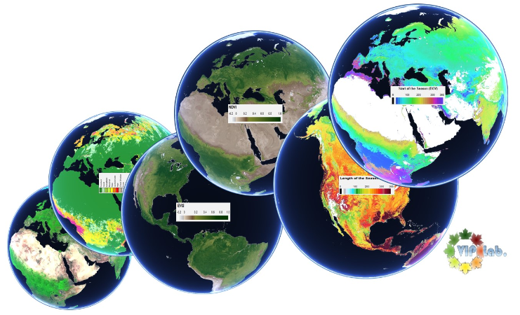
NASA MEaSUREs Project Vegetation Phenology and Vegetation Index Products from Multiple Long Term Satellite Data Records. The Vegetation Index and Phenology
(VIP) Earth Science Data Records Project is a multi-institution effort lead by the University of Arizona and funded by NASA MEaSUREs..
The GAC data from the AVHRR sensors onboard the NOAA satellites from 1981 - 1999 and MODIS Terra from 2000-2015. |
USGS Lower Colorado RiverThe Colorado River is one of the most altered rivers in the world, with more than a dozen dams and diversions. Researching the effects of the environmental flows allocated in Minute 319, a binational, multi-agency, interdisciplinary project with the primary goal being to maintain healthy riparian habitat along seven reaches of the river corridor in the Colorado River Delta. |
DOE-LM Drone MS CalibrationUnmanned Aerial (UAS) Multispectral Data Calibration and Evaluation Project. A study design to optimize the collection, radiometric characterization, and processing of multispectral data acquired by UAS. Accurate and operational geometric correction, Precise radiometric calibration and characterization of the dynamic range. |
USGS Transboundary MappingHigh-resolution Transboundary Vegetation Community and Dynamic Maps of the Sonoran and Mojave Desert Ecoregion to support critical landscape conservation planning and habitat management needs. Increase understanding of the binational nature of vegetation comunnities critical for conservation of protected, threatened, and endagered species. |

